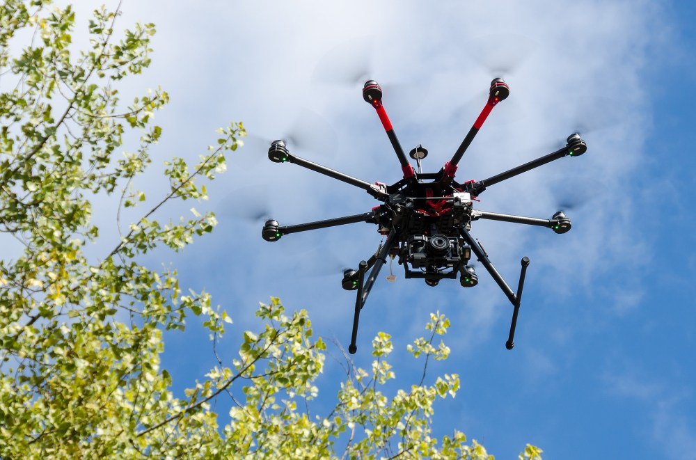
Aerial thermography inspections save solar operators nearly $2,000 per MW when compared to traditional manual inspections. sUAS or UAV drones fitted with an array of sensors can increase efficiency of inspection by 98% or more.
RESIDENTIAL & CONSUMER
SERVICES
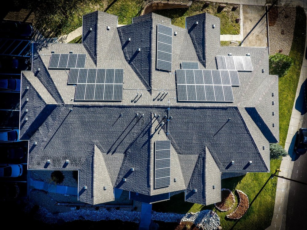
Your home solar array came with a warranty to cover free replacement & system repairs, this generally covers all parts and labor. Your installer may also provide remote monitoring services to help insure output does not remain below a minimum threshold.
Remote monitoring is a great baseline and provides the consumer with next level details beyond a standard power bill, but it only sees a small picture.
We offer consumers the same level of service we provide to utility companies. Our sensors can detect structural defects, invisible to the naked eye. An annual drone inspection offers irrefutable evidence to warranty claims and can quickly mitigate problems, which can cost thousands of dollars in lost power generation over the life of a system. We will help you get the most out of your home solar. Contact us today to schedule a free consultation.
UTILITY SCALE O&M SUPPORT
Drones are the most efficient method of conducting a DC Health Check. Our unmanned aircraft systems (sUAS) offer industry leading sensors, which provide the best analytics and comprehensive reports. We understand the field work involved to mitigate issues and offer a variety of aerial services tailored to meet the needs of industry O&M professionals.
Whether your footprint is 5MW or 500MW, once our data is processed through advanced machine learning, you will have a clear report detailing every instance of lost power down to the last melted MC4 connector.
COMMERCIAL & INDUSTRY
APPLICATION
Leave the helicopter in the hanger, our sUAS air fleet offers solutions across all commercial industries including:
– Rooftop Inspections
– Tower Inspections
– Powerline & Substation Inspections
– Solar Thermography Inspections
– Gas Pipeline & Plant Inspections
– Bridge Inspections
– Landfill Inspections
– Forestry Mapping & Surveys
– Agricultural Mapping & Surveys
– Shoreline Mapping & Surveys
– Construction & Engineering Services
– Geological Aerial Services
– Real Estate and Aerial Photography
– Emergency & Disaster Response
– Security Operations
Rhino Environmental, LLC is not a licensed land surveyor and does not offer legal mapping.
