Interested in learning more about how small unmanned aircraft systems (sUAS) are used in different industries? Read our resources below to get more information on the types of technology we use in our services.
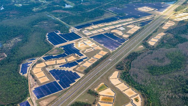
270-ACRE, 52-MW EARTH DAY CELEBRATION
Rhino Environmental is proud to be part of Central Florida’s largest solar energy project. Walt Disney World Resort Celebrates Earth Day With New Solar Facility Capable of Powering Two Theme Parks
Read More 270-ACRE, 52-MW EARTH DAY CELEBRATION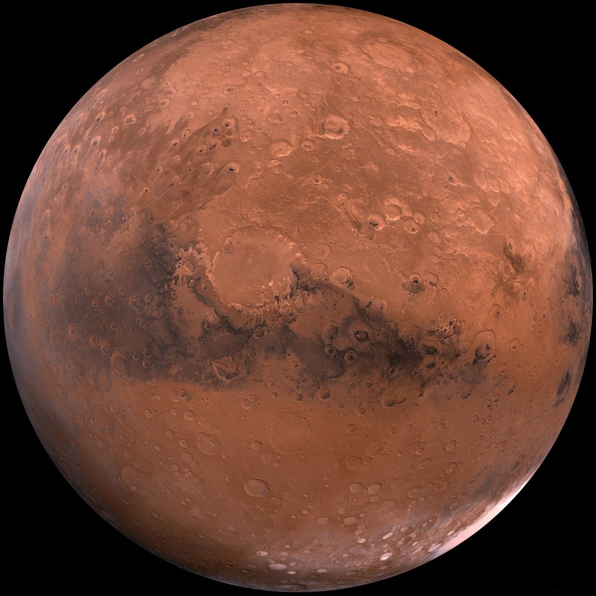
Software Captures Mars Landing, Maps Martian Surface
Rhino Environmental uses advanced geospatial software from Pix4D. This software enabled mapping of Mars by processing raw images from NASA Mars 2020 Perseverance Rover. During this mission, NASA tested powered flight on Mars for the first time using an unmanned aerial system (sUAS). The Mars Helicopter named Ingenuity was created by NASA and JPL-Caltech.
Read More Software Captures Mars Landing, Maps Martian Surface
Digitize Your Asset
Unmanned Aerial Systems (sUAS) deployed with geospatial sensors create easily manipulatable 3D models of assets. Rhino Environmental offers 4K orthomosaic, FLIR thermal, InfaRed (IR) or LiDAR asset mapping solutions. We provide FLIR thermal models that are used to quickly locate hotspots displayed in a 3D grid. You can access this information on your personal computer,…
Read More Digitize Your Asset
Unmanned Aerial Multi-Gas Detection
According to a study completed by the National Fire Protection Association (NFPA), there were 784 fatalities caused by unintentional injuries from non-fire exposure to gases in 2009. Gas can be explosive, toxic or even displace oxygen (O2) to cause anoxia, which accounted for 33,600 reported emergency room visits in 2012. Common methods of gas detection…
Read More Unmanned Aerial Multi-Gas DetectionSomething went wrong. Please refresh the page and/or try again.
Join our mailing list below to find out more about unmanned aerial systems solutions.
